Monday, May 15, 2023

Greece Part 1: Kalymnos

Jack, Ellen, and Dana at a ruin guarding a climbing area above Emporios.
(Click images to view larger)

The hills surrounding Emporios are infested with roosters. Jet lagged after a 30-hour travel day from Denver to Greece and the 9-hour time difference, I lay awake at 2 a.m., listening to them carry on. Across the harbor, a lone rooster crowed, far away and unobtrusive. Soon though, the rest joined in--all of them--including one just outside my window. After a few minutes, having established their territories, impressed their hens, or whatever the hell else they were trying to accomplish, they quieted down, only to crank it up again an hour or so later. As kids, we were taught that roosters crow at sunrise, but that's bullshit, at least in Emporios. 

A week passed quickly and jet lag was replaced by climbing fatigue, sleep came more easily, and crowing roosters became background noise, mingling with goat bells and the occasional car or truck passing on the road below. 

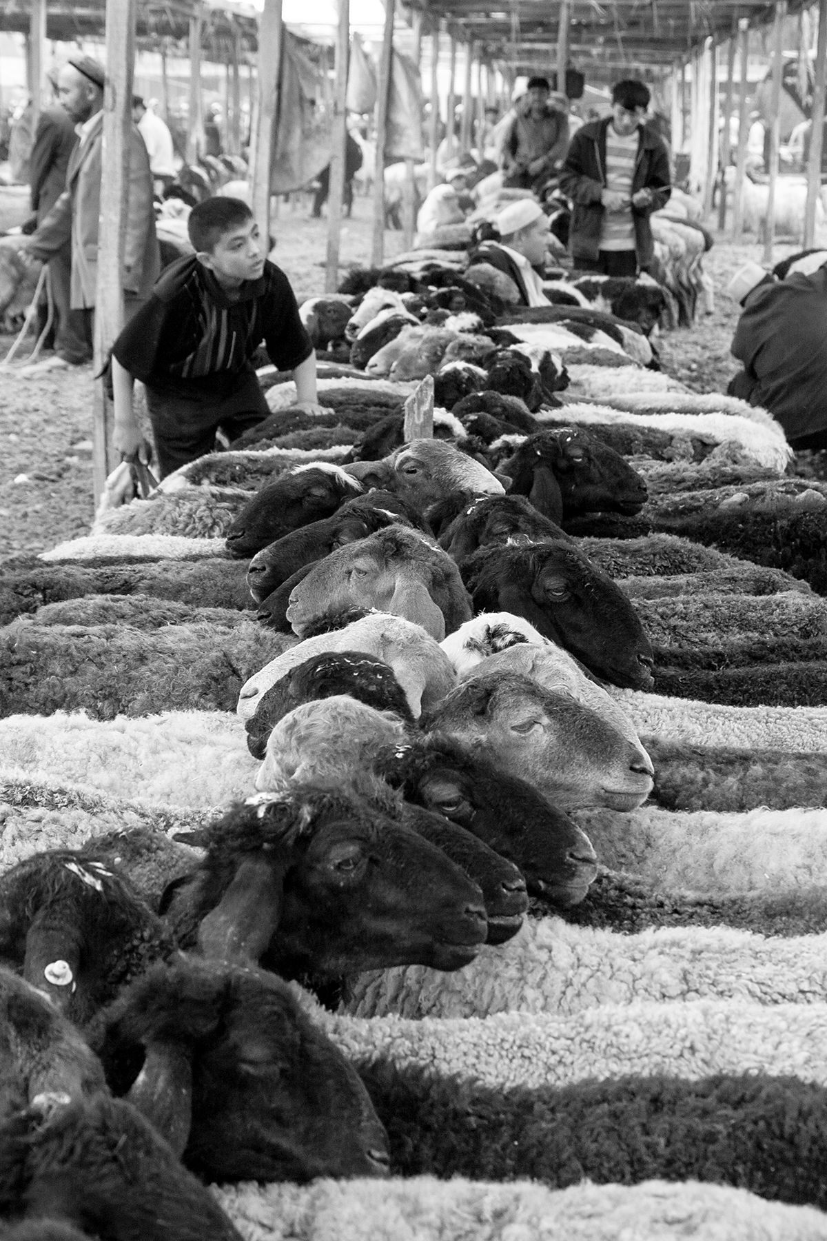
Emporios, where our friends Jack and Dana had rented a lovely stone cottage that they invited us to share, sits at the north end of the paved road traversing the island of Kalymnos from its largest town, Pothia, at its southern end. Along the way it passes through the climbing hub of Masouri, lined with restaurants and gear stores. Above the road, miles of limestone cliffs rise from the hillsides, drawing climbers from all over the world to thousands of bolted sport routes. Once known for sponge diving, Kalymnos and its economy were transformed in the last three decades by climbers renting rooms, eating at restaurants, drinking in bars, leasing scooters, and buying gear as the sponge economy waned and the larger Greek economy crashed and then recovered.


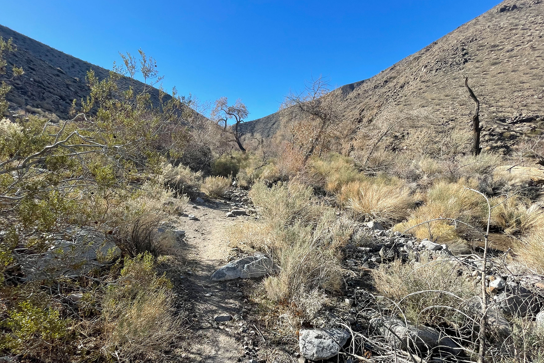
Kalymnos is one of many Greek islands in the Aegean Sea, itself closer to Turkey than Athens. Occupied for at least 6,000 years, the island is dotted with castles guarding high limestone outcrops and other defensive stone structures in the mouths of caves where the strongest climbers float up overhanging routes draped with tufas and dripping with stalactites. Themis, a taxi driver who drove us from the ferry terminal to Emporios when we arrived, told us (with an Australian accent—like many Kalymnians, she had lived overseas) that in the 7th Century, pirate raids were common, and women and children scrambled to the castles to escape the plundering. For us, the castles, along with blue and white Christian shrines and seaside hikes, were places to explore on climbing rest days, which were few since we were only on Kalymnos for two weeks.


It's been a long time since I’ve been on a climbing trip. Though Ellen and I still climb, it’s usually a day or two here or a few days there, so it was fun to climb ourselves to exhaustion and then sit on our patio eating bread and cheese and sipping Mythos beer. Although Kalymnos rock draws top climbers, one source I found suggested that 90% of the visitors are 40-50 years old and climb mostly routes graded 5a – 6b (5.8 – 5.10 more or less). We’re even older (!!) and that grade range suited us just fine. I’ll spare you the climbing butt shots, so below are a sample of images mostly from rest days on the island. 


I've also included a little logistical info after the photos, though the climbing guide and many web sources have it more than covered. 


After Kalymnos, Ellen and I spent a week on the mainland in Athens and Nafplio being tourists (and climbing for a day at another popular destination called Leonidio). I’ll post about that part of the trip separately.


Dragging our tired selves to the ferry after spending a short night on Kos trying to recover from a 30-hour travel "day."

Our patio above Emporios at the Stone Calliope. 

Mythos, our default lager while on Kalymnos. And you thought they were just climbing shoes.

Sponges in Emporios. There are still lots for sale on Kalymnos, but as an economic driver, sponge diving has given way to tourism.


Dana (left) and Ellen contemplating the menu in Emporios and wondering, "How many do they have, anyway? Eight?"

A cove on the Aegean Sea during a hike along the coast from Kantouni Beach to a church.

The small church at the end of a rest day hike from Kantouni Beach along the Aegean coast.

A light at the church. What could go wrong?

Cyan and white are the colors of the Greek flag and these same colors were mandated for buildings in 1967 by a military government that felt that they supported their political agenda. They have become the iconic colors of Greece.

I have to include one climbing shot. Jack boldly venturing into 5.11 at Sector Arhi, stemming on huge tufas.

And one of Ellen at the base of a crag meditating on the climbing guidebook.

Chairs in Emporios.

Ellen chatting with one of the many cats in Greece, this one in Emporios. They are in every restaurant, hoping for a tidbit, and though feral seem to be mostly well cared for by people and restaurants. There's an active program on the island to neuter cats to slow their population growth.

Goats amongst the ruins of a castle. Many houses on Kalymnos have outdoor goat ovens, but this doesn't seem to concern the goats too much. They wander over the hillsides, many with bells, and word is that at some of the popular crags they will eat their way into your climbing packs.

The Chora Castle also known as Pera Kastro which commands a limestone knob above Pothia. 

Poppies and castle walls at the Chora Castle.

There are 9 churches within the walls of the Chora Castle, each dedicated to a different saint and most built in the 15th to 16th centuries.

The churches everywhere in Greece are full of religious art.

On a more hedonistic note, the sausages were pretty damn good.

As were the tuna. This one had just been caught for the restaurant down the hill from our house in Emporios on the day we left, sad that we couldn't order any of it.

Emporios Inlet as viewed from our patio. It’s hard to see the roosters, but there are a lot of them out there. 

Ellen and Jack on the ferry headed back to Kos, with Pothia receding. 


Logistical Miscellanea


Getting there: Most people fly to Athens and then from Athens to the island of Kos (pronounced with long-o) that is just south of Kalymnos. The Kos airport is close to the port town of Mastichari (taxi ride) where you can catch a short (45-minute) ferry to Pothia on Kalymnos. We spent the night on Kos before the ferry to get some rest after the long flights. You can buy ferry tickets at the harbor (no need to buy in advance) for about 10 euros.


Kalymnos taxi: We took a taxi from Pothia to our rented cottage in Emporios (35 euros). Most climbers stay in Masouri which is closer. Our taxi driver (Themis) was great – you can text her at +30 694 9854148 if you need a ride. 


Kalymnos accommodation: We stayed at a cozy little stone house for 4 people in Emporios called the Stone Calliope (contact Maria at +30 697 1790881) Emporios is quiet and has some advantages over Masouri in terms of proximity to the northern climbing areas, but it lacks the amenities that most climbers enjoy in Masouri and isn’t very social if that’s important to you. Emporios has restaurants, a small store, and scooter/car rental (very informal – no international license required, unlike in Masouri), but no gasoline and limited food choices. There are lots of places to stay in Masouri and all up and down the island which can be found online. Masouri also has many scooter rentals and you can walk from there to some of the big crags.


Transportation: Most climbers rent scooters and some rent small cars. Our taxi driver suggested that it’s better to rent at least a 125 cc scooter, which we did in Emporios (15 euros/day) with no need for a motorcycle license, but we were told by friends that in Masouri you can’t rent more than a 50 cc scooter unless you have the motorcycle license on your international driver’s license. It was very nice to have the more powerful scooters for climbing some of the hills, and they are less obnoxiously noisy than the little 50 cc 2-stroke engines. The closest gas stations are south of Masouri in Elies, so that’s an issue if you are based in Emporios but not a huge deal.


Food: There are LOTS of restaurants and taverns all over the place. The best meal I had (seared tuna) was in an upscale place in Masouri called Prego, but we had very good inexpensive food at Street Food (also in Masouri) and plenty of good meals at many other restaurants. The restaurants close to where we stayed in Emporios were good and had fresh fish. The biggest supermarket is in Elies (just south of Masouri) and is called the AB Market. There are lots of mini-marts in Masouri that sell groceries, beer, and liquor. We never figured out how to make good coffee at “home”, but restaurant cappuccinos did the trick. 


Climbing Guidebook: We used the 2019 guidebook which describes 3400 routes. There is a new edition coming out this year (2023) but it wasn't available when we were there. The guidebook is excellent.


Saturday, March 4, 2023

Visiting the Past: Kashgar China, 2006


Window curtain, Kashgar, China. 2006
(Click images to view larger)

Ellen, Bei, and I visited Kashgar in 2006, near the end of a year teaching and traveling in China (see blog). Tensions between the Uyghurs and the Chinese government were rising, but we were largely unaware, more tuned into tensions between Muslims and Americans during the Bush administration’s “war on terror” following 9/11. In a dusty desert town on the edge of the Taklamakan desert, a man lounging on a motorcycle asked me what I thought of Bush, pronouncing his name with a long-u, while drawing his finger across his throat. 


Kashgar sits on the western edge of China’s Xinjiang Province and was an important Silk Road hub linking China to Central Asia and Europe. The predominantly Muslim Uyghurs, native to Xinjiang, are one of 55 minority ethnic groups recognized by China. Historically, Xinjiang has been controlled by Mongols, Russians, Turkic people, and Uyghurs, as well as the Chinese, but the PRC is quick to suggest that China’s cumulative control lasted longer than that of others. 


In response to ethnic unrest in 2009 and partly under the cover of antiterrorism measures after 9/11, the PRC came down hard on Uyghurs, branding them separatists, terrorists, and religious extremists and enacting measures to “assimilate” them into Chinese culture. These included closures of mosques, reeducation, mass arrests, establishment of internment camps, and destruction of traditional Uyghur sections of cities including Kashgar. Like in Tibet, economic incentives have drawn Han Chinese to Xinjiang, diluting the Uyghur population and culture. 


In 2021, the U.S. State Department accused the PRC of crimes against humanity and genocide in Xinjiang, adding to the growing tension between the U.S. and China. The Congressional Research Service published a useful summary of events leading to this determination, and detailed information is widely available online (e.g.here, and here), but in 2006 when we visited, much of this was in the future.


In Kashgar, we stayed at the Chini Bagh Hotel on what were the grounds of the British Consulate during the time of the Great Game when the British and Russian Empires vied for control of Central Asia and India. Bei was 5, and though keen enough to wander with her parents, eating lamb kabobs and visiting markets, I often left the hotel early to walk through the city with my camera. 


Most of us wish we could see with our own eyes what the world looked like before it was “modern,” a word applied to whatever age happens to be yours. Perhaps this nostalgia is more painful for photographers. Images of everyday life 25, 50, or 100 years ago evoke fantasies about the photos we might have made. Yet here we are, time rushing by, the envy of future photographers. Kashgar and the Uyghur culture was eroding in 2006 when we visited, but much remained that is now destroyed.


I recently ran across images by Carl Mydans (1907-2004), a documentary photographer who worked for the Farm Security Administration (FSA) in the 1930s along with Dorothea Lange and later for LIFE Magazine, covering WWII and spending two years as a Japanese prisoner after being captured while working in the Philippines. His experiences left him with a keen sense of history. Mydans once said, maybe a little dramatically:


All of us live in history, whether we are aware of it or not, and die in drama. The sense of history and of drama comes to man not because of who he is or what he does, but flickeringly, as he is caught up in events, as his personality reacts, as he sees for a moment his place in the great flowing river of time and humanity. I cannot tell you where our history is leading us, or through what suffering, or into what era of war or peace. But wherever it is, I know men of good heart will be passing there.


I recently reprocessed some of my images from Kashgar in 2006 realizing that I never included them in my China blog. There are a lot of images here, but they capture some of the diversity and liveliness, and some of what is now the history, of the city and the Uyghurs. I’m grateful to have been there.


Uyghur man, Kashgar.

Kashgar evening TV.

Street scene.

Young woman, old Kashgar.

Kids in the old part of Kashgar.

Young friends (or siblings?).

Woman and window.

Naan.

Door and padlock. 

Old friends.

Women at the market.

Carrying brooms to market.

Woman in old Kashgar, early morning.

Buying vegetables.

Three generations at the animal market.

The grandmother from the previous photo.

Sheep shearing at the animal market.

Pushing sheep.

Smoker.

I'm not sure what to say about this, except that if these guys had been rock climbers, their boldness would have been legendary.

Early morning woman with hot water.

Woman at market.

Instrument maker.

Restaurant.

Towels and window reflections.


Saturday, January 28, 2023

Death Valley Backpacking: Cottonwood - Marble Canyon Loop

View of Death Valley badlands from Zabriskie Point.
(Click images to view larger)

Death Valley is famously hot, dry, and barren, but cold temperatures, flooding, and bushwacking posed challenges during a short visit in January 2023. The park is nothing if not diverse, with elevations ranging from 292 feet below sea level in Badwater Basin to over 11,000’ at the summit of Telescope Peak, so it's not surprising that conditions don't always match the cliches. When I met Larry Scritchfield for a little mid-winter backpacking (and to escape the relentless Wyoming cold), high temperatures averaged around 60 in the basins, way warmer than the surrounding mountains where we hiked, many blanketed with snow. 


Salt Creek on the floor of Death Valley. The white stuff is salt, not snow. (Photo from Dec. 2021 when Ellen and I passed through on our way home from a climbing trip to the Alabama Hills west of Death Valley)

A pan in the Mesquite Dunes east of Stovepipe Wells. (Dec. 2021)

Gower Gulch from Zabriskie Point. Zabriskie Point is a popular roadside overlook, named for a borax magnate. (Dec. 2021)


We’d also hoped to get a taste of Death Valley canyoneering, known for rappels off carefully constructed rock piles (sketchy??), but our canyon partner, Don Reyes, who lives near Lake Tahoe, was digging his renters out of serial Sierra snowstorms and had to bail at the last minute. Canyoneering is collaborative--more fun and safer with three than two, so we postponed those plans.


Larry not canyoneering (still sketchy) in Stretched Pebble Canyon during a day hike. (Jan. 2023)


Larry and I rendezvoused at Stovepipe Wells, just below sea level, where a friendly hotel (showers for $5!) and restaurant on one side of Hwy. 190 face a campground and store on the other. The campground, mostly empty in January, is a gravel parking lot with carbonite posts marking sites, devoid even of picnic tables. We parked on one edge of the lot, giving us access to the empty desert for late-night peeing. Not far to the east, the Mesquite Dunes spawned plumes of dust that thankfully blew away from the campground on frequent windy days. To the west, the Cottonwood Mountains, part of the Panamint Range, where we planned to hike, dominated the skyline, their highest peaks dusted with snow. 


The Stovepipe Wells "campground." It's really just gravel parking places though there are some tent sites that have tables. The Cottonwood Mountains, where we eventually hiked, are in the background. (Jan. 2023)


Flash floods during the August (2022) monsoon washed out many roads in the park, including access to popular tourist spots (Scotty’s Castle, the Racetrack, etc.), and a smaller rain event just before we arrived turned the road to the 28-mile Cottonwood-Marble Canyon loop, our main backpacking objective, into a quagmire. An apologetic ranger at the small Stovepipe Wells station where we stopped to collect our free permit delivered the bad news, squashing our plan to start the 4-day hike that morning. Instead, we regrouped and headed for Indian Pass in the Funeral Mountains on the eastern edge of the park, an overnight out-and-back that included a 4-mile slog up an alluvial fan (fanyoneering?), while we waited for the Cottonwood Canyon road to dry out. 


Camp in the Indian Pass canyon in the Funeral Mts. (Jan. 2023)

Recent rains left plenty of water in potholes in upper Indian Pass Canyon. (Jan. 2023)


Later in the week, after the overnight and two day-hikes, we finally started the loop, which climbs gently up Cottonwood Canyon, then north up a swale to eventually cross a saddle before descending steeply into Deadhorse Canyon which drains into Marble Canyon, itself descending through spectacular narrows back to the trailhead. Along the way we enjoyed impossibly complex geology, petroglyphs (spaceships??), wild horses, freeze-dried lasagna, and perfect but freezing campsites. 


I seldom move much before finishing my morning coffee, and pre-caffeine I don’t even like to be asked about what I might do later in a day. But in one of the hottest places on the planet, it was so cold (and windy) at our first two camps that Larry and I crammed our gear into our packs at dawn and walked until we could find sunshine and a little warmth before brewing freeze-dried Via “coffee” packets and eating breakfast. Probably in the low to mid-20s at night, desert cold always feels colder than mountain cold. I hiked those mornings in the winter clothes (hat, gloves, long underwear, puffy) that I wear Nordic skiing at 9000’ in sub-arctic Laramie, Wyoming and still didn't feel quite warm.


Lower Cottonwood Canyon on our the first day of our loop hike. I ended up shooting iPhone photos on this trip because the sensor on my backpacking camera was unexpectedly dirty. (This and all Cottonwood-Marble photos are from Jan. 2023)

Our first camp in Cottonwood Canyon.

Larry enjoying a wee nip of tequila at our first camp in Cottonwood Canyon.

Larry in upper Marble Canyon.

Approaching one of the narrows in Marble Canyon.

Zebra-striped rock in Marble Canyon.

Petroglyphs in Marble Canyon.

Narrows in Marble Canyon.

Marble Canyon looking towards the narrows in the preceding photo.

Marble Canyon.

Boulder, Marble Canyon.

Another ironic challenge on the hike was vegetation. We joked about bushwacking on the Indian Pass hike whenever we passed close to an infrequent creosote bush. How naïve we were! In Cottonwood Canyon and to a lesser degree in Dead Horse Canyon, what little vegetation there was packed itself into the V-shaped drainages where the few springs provided enough water for trees, choking the canyon with an impassable tangle of downed cottonwood limbs, fallen trunks, and impenetrable shrubs, some thorny, forcing us up onto steep, loose, sidehills above the drainage, sometimes exposed enough to drive us reluctantly back down to bushwack hopelessly until we could find another escape. Short distances near these “oases” took longer to traverse than miles of open desert.

Approaching a section of bushwacking that is WAY worse than it looks. 

The only flake I found on this trip was this broken point that I happened upon while side-hilling above a spring to avoid bushwacking, so perhaps we were not the first to grovel around the springs.


Death Valley is a vast park, too hot most of the year for much activity, but a refuge in winter. From salt flats, dunes, and badlands to mountains harboring ancient but threatened bristlecone pines there’s enormous diversity. And despite the harshness, humans have left their mark with old mines, ghost towns, and remnants of a once thriving borax industry (20-mule trains!). It attracts desert rats and misfits as well as cyclists, outdoor adventurers, and retirees. I find myself there once in a while, and though I often wonder if I’ll return, each trip leaves me curious about just one more thing that I’d like to check out. 


View from an abandoned building at Death Valley Junction, just outside the Park.