Don Reyes on Muav limestone in lower Fern Glen Canyon.
(Click on images to view larger!)
As Grand Canyoneering goes, the 5-day loop down Fern Glen
Canyon to the Colorado, along the river (upstream) for a few miles (an
understated George Steck route), and then up Tuckup Canyon to return to your
starting point is relatively mellow. Technical obstacles are a series of
rappels and downclimbs in Fern Glen and chockstones in Tuckup that have to
be groveled over. Total mileage is a little under thirty. No packraft is
required.
But it beat us up relentlessly every single day.
Each
morning there were terrible noises as Larry Scritchfield, Don Reyes, and I tried
to slowly get ourselves moving. We figured that our collective 175 years added
to our suffering, but to be sure, others much older than us have done bigger trips.
Tom Jones (
Canyoneering USA) describes canyoneering in the
Grand Canyon well in a
Rave:
“My knees still hurt.
But this is not usual. I do one hiking trip each spring to the Grand Canyon,
carrying a BIG PACK (camping, canyoneering, pool toying) and it wrecks me. Then
it takes a year for me to forget.”
It's been two years since I canyoneered in the Grand Canyon (see
blog post), and one year since I had my right knee replaced. The knee performed perfectly on this trip--but the rest of me suffered.
Admirably, a community of highly motivated
and strong people tackle big Grand Canyon trips more frequently, and Todd Martin’s
book,
Grand Canyoneering, is a
masterpiece of documented experiences that collectively seem almost
unimaginable. Martin himself acknowledges many, both recent and historic, who inspired him—exploring in the Grand
Canyon has a rich history that pre- and post-dates European arrival in the New World.
These are some captioned photos from our trip, followed by a
little info on logistics to supplement Martin’s excellent descriptions, and a
paragraph about a new camera I tried out on this trip.
The Tuckup trailhead. Not a bad place to spend a couple of nights if you have enough chips and salsa and a wee bit of tequila.
Jim Akers and Don Reyes checking out the canyon. Jim camped on the rim and did gnarly solo-dayhikes, including the trail down to Lava Falls, while we lugged our backpacks around.
Crinoid fossils in Kaibab limestone near the rim along the Tuckup Trail early on the first day when we were still perky.
Larry Scritchfield surveying the Esplanade after descending from the trailhead. This is near the top of Tuckup, and we returned to this place at the end of our hike.
Larry near the head of Cottonwood Canyon, where there is a spring and the first water after leaving the rim.
Larry traversing the Esplanade on the first day.
Don looking into Fern Glen Canyon from near where we spent our first night.
Larry and Don with The Dome in the background. Our loop circumambulated this feature, but mostly while deep down in the canyons.
Larry and Don descending through the Supai sandstone in upper Fern Glen on our second day.
One of many rappels in Fern Glen. All were awkward due to undercut lips, but anchors were generally good.
Don wrestling with a short rappel.
The top of the Redwall limestone in Fern Glen.
Suiting up for swimming in Fern Glen.
Don (entering water) and Larry in Fern Glen.
The longest rappel in Fern Glen is 200' in three stages. This is looking down at the bottom of the first stage, with the second around the corner to a deeper pool and swim.
No ferns in this particular part of Fern Glen, but they did grow in others.
Another Fern Glen chockstone rappel.
Larry, cagily dodging a swim.
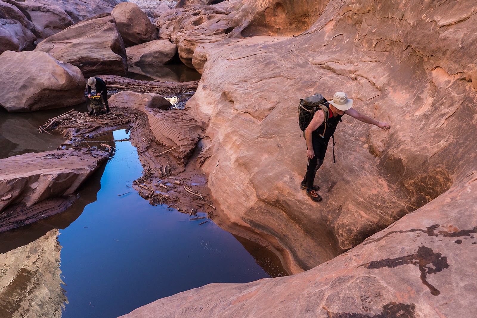
Larry (R) and Don (L) entering the Muav limestone in lower Fern Glen.
Descending through the beautiful Muav limestone.
The final Fern Glen rappel, in pouring rain during a lightning storm. Do you hear a freight train?
Double rainbow over the Colorado River.
Our second bivy under a big overhang along the river upstream from the mouth of Fern Glen. By this time, the rain had stopped.
An example of the hideous river traverse. Pick your line.
As we traversed upstream through cat's claw, rafters traveled the other direction in a much more pleasant parallel universe.
Rafters throwing Larry some beers after taking pity on the bleeding old men carrying packs.
Hauling packs up a chockstone in lower Tuckup Canyon on our third day.
Larry in Tuckup.
Bouldering our way up Tuckup Canyon.
Our third bivy. Partway up Tuckup Canyon.
A side canyon in Tuckup. Lovely little terrarium.
Don surmounting a Supai boulder in the Redwall.
Redwall limestone in Tuckup.
Our first view of the Shaman Panel. Information here and a great high resolution image and description here.
Look closely. These guys are clearly early boulderers working on a roof problem (about a third in from the left).
Larry enjoying the Shaman panel.
Larry and Don at the Shaman Panel.
The Shaman Panel.
Sha-men with a flask of scotch on our last night.
A rare selfie.
Jim met us near the rim with cold beer on his way down to visit the Shaman Panel.
Trip Logistics (brief):
Fern Glen and Tuckup canyons are well-described in Todd Martin’s book, Grand Canyoneering, but I’ll add a
little info here.
Rather than doing the steep drop-in approach Todd describes,
we opted for hiking down the Tuckup trail from the Tuckup trailhead and then traversing
around the Esplanade to the head of Fern Glen. This was a sloggish 9-mile hike,
with water at Cottonwood Canyon and in potholes at the head of Fern Glen. Larry
aptly described passing the heads of several canyons as being “trapped in a
fractal.” Staying as far above the canyon heads as is reasonably possible is a
good strategy—the “trail” is helpful but often hard to find. Since we didn’t do the steep approach, I can’t
say which is better or faster. The way
we went was mostly gentle but long. We spent our first night at the head of
Fern Glen (some shelter under overhangs, but we all had tents or bivy sacks).
The second day we descended Fern Glen to the Colorado River
and then traversed up the river for about a quarter-mile to bivy under a big
arching overhang visible from the mouth of Fern Glen. It was a dry, flat, reasonable
bivy spot. The only notes about Fern Glen that vary from Martin’s book are that
the early downclimb of a “steep, unpleasant slope” (Martin) that looked
horrendous to us was easily avoided by rappelling off a tree. Rappel anchors
were reasonable for the remaining (~9—I lost count) rappels in Fern Glen. The “pile of rocks” used for the 200’ rappel
is really more of a wedged chockstone pinch-point, and it seemed very secure
compared to the teetering cairn-bollard that we were all picturing. There are two bolt anchors described by
Martin lower in the canyon. The upper one had been chopped (badly) and replaced with
a secure natural anchor. The lower one consisted of two rusty ¼-inch bolts (one
a button head, the other a hex head). Those are suspect, but we used them
anyway. At some point, they should either be replaced or abandoned. The last
rappel included the jammed knot that Martin describes and a large stopper—we were
in a lightning storm at that time and didn’t check it out thoroughly.
The river traverse is not fun! It’s 3 miles of fighting
through tamarisk, desert broom, and cat’s
claw, traversing up onto sharp scree to escape all of that and then
descending back into the flesh-ripping brush to escape impassible boulders. One party
suggested traversing the cliff base for significant distances, but we had
little success with that because cat’s claw seemed to also enjoy hugging the
cliff forcing you back down.
Steck supposedly did the traverse in 3 hours. It took us 6. Near the end, we
received 4 cold beers from a passing raft trip! We arrived, bleeding, at
Tuckup, ate lunch, drank the beer, and then staggered up canyon for a few hours to a good bivy
under an overhang above the wash on the right (looking upstream). Across from the bivy was a big Redwall alcove
with an odd little spire that we called The Pope attached to the base of the wall.
The main difficulties in Tuckup were climbing up boulders that regularly choke
the drainage. These were strenuous, but not terrible.
On the fourth day, we continued up Tuckup (mostly easy) to a
dry camp at the incredible Shaman Panel, carrying water from where it seemed to
peter-out in upper Tuckup.
The last day was the climb back to the rim on the Tuckup
Trail.
Camera nerdery: This trip was the maiden voyage for my new Sony
a6300 mirrorless camera, recently purchased for backpacking to avoid the burden
of carrying a full-sized DSLR. I have not bought any additional lenses for
this camera, so I used the “kit lens,” a low quality16-50 mm. Aside
from the lens, which is soft (focus) and not snappy in terms of color,
I was happy with the camera. It inadvertently (no idea how) was changed from
ISO 400, which I had deliberately set, to ISO 1250, which I hadn’t, and stayed
that way for much of the hike until I noticed it on the way out (the pitfalls
of unfamiliarity with a new camera). The picture quality as a result isn’t
exceptional, but I think with a better lens and more familiarity, this will be a
great camera when weight is an issue.